


beledone J3

CASSISFRAMBOISE
Utilisateur
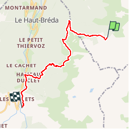

Longueur
12,2 km

Altitude max
1990 m

Dénivelé positif
662 m
Km-Effort
23 km

Altitude min
997 m

Dénivelé négatif
1382 m
Boucle
Non
Date de création :
2019-09-03 06:22:08.071
Dernière modification :
2019-09-06 12:14:01.143
7h10
Difficulté : Très difficile

Application GPS de randonnée GRATUITE
 SityTrail
IGN / Instituts géographiques
SityTrail Plus
Le monde est à vous
À propos
Randonnée Marche de 12,2 km à découvrir à Auvergne-Rhône-Alpes, Isère, Le Haut-Bréda. Cette randonnée est proposée par CASSISFRAMBOISE.
Localisation
Pays :
France
Région :
Auvergne-Rhône-Alpes
Département/Province :
Isère
Commune :
Le Haut-Bréda
Localité :
Pinsot
Départ:(Dec)
Départ:(UTM)
275449 ; 5021913 (32T) N.
Commentaires